Valais Panorama Bike - Section 3 Crans-Montana–Leuk
Mountainbike trail
Valais Panorama Bike
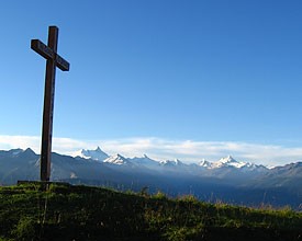
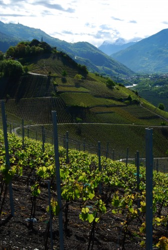
The tour leads up to 2000 m altitude, passing remote alps, steep Alpine meadows and rugged mountain scenery. The highest point is the start of a long descent: an unbroken 1400 metres in height difference down to Leuk.
The panorama route which climbs up to 2000 m, overlooks the greater part of the Pfyn-Finges Nature Park. The park area ranges from the pine forests in the Rhone valley to the 4000 m peaks.
Pushing sections: Crans-Montana–Leuk approx. 10 min. / Leuk–Crans Montana approx. 40 min.
Season
All season
Route-information
- Length
- 30.00 km
- Altitude difference ascent
- 640 m
- Altitude difference descent
- 1500 m
- Level technique
- Middle
- Level condition
- Middle
Arrival
- Starting point
- Crans Montana (Altitude: 1510 m)
- Arrival by public transport
- Montana, poste Timetable SBB
- Destination
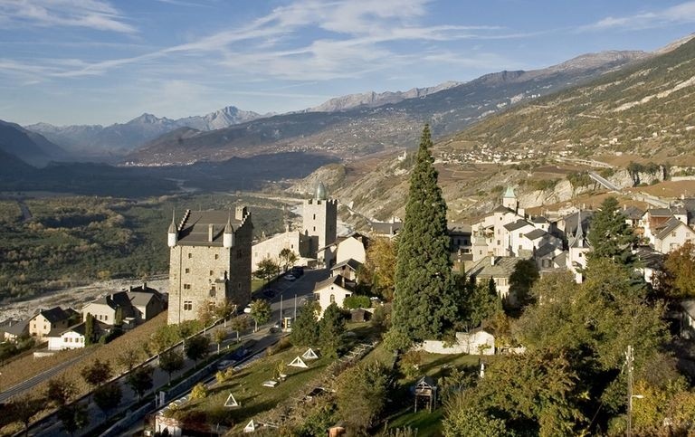
- Leuk (Altitude: 619 m)
- Arrival by public transport
- Leuk, Bahnhof Timetable SBB
The offer is suitable for
- Adults
- 50+